Date/Time
Date(s) - 22/09/2017
2:00 pm - 5:00 pm
Location
Dr.APJ. Abdul Kalam Conference Hall
Categories
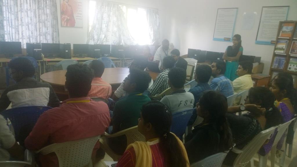
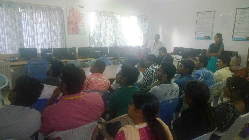
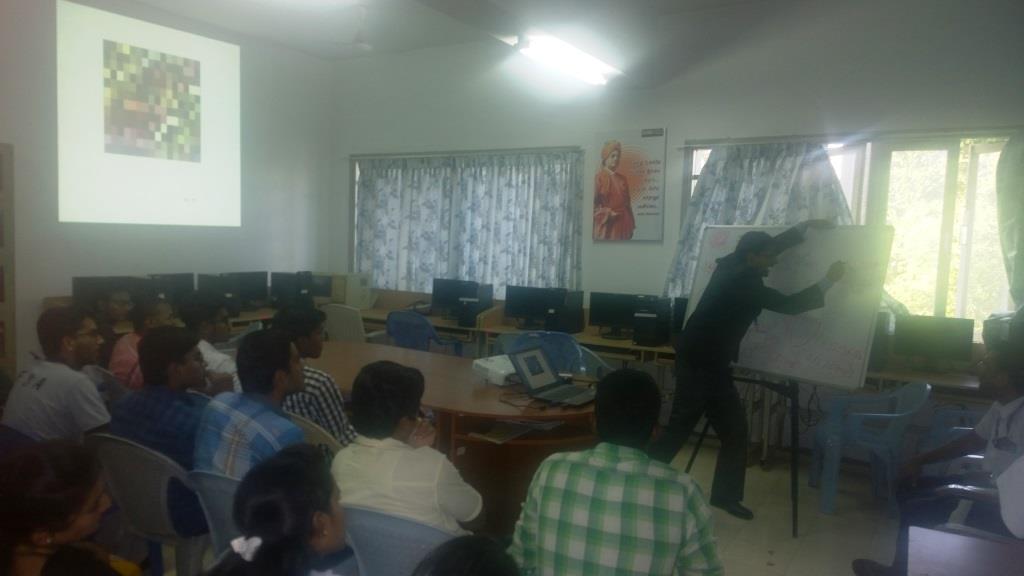
Report on the lecture given by Dr. Abhijat Arun Abhyankar on Remote Sensing and GIS Technologies on 22.09.2017
Dr. Abhijat Arun Abhyankar, Associate Professor, NICMAR, Pune delivered a lecture on Remote Sensing and GIS Technologies to B.E. Civil; Engineering Students on 22.09.2017 afternoon for about one and a half hours.
He explained what is remote sensing, how do geostationary and sun-synchronous satellites function and how resolutions (spatial, temporal, radiometric, and spectral) are determined from remote sensing satellite imageries. He also presented a simulation scene on flood inundation – rise in flood level and its effects. He worked out some examples on how pixel values – reflectance values – (0-255 grey levels) are derived from digital values.
About 30 students attended the guest lecture. The students interacted with the Professor with much enthusiasm and learned the concepts very well.